
Ahtubinsky Municipal District and the City of Znamensk, Astrakhan Region
Ahtubinsky District and Znamensk
Key facts:
- Area: 7,810 km²
- Population: 56,602
- District centre: Ahtubinsk
- Average salary: RUB 63,700
- 3 branches of higher education, 2 branches of vocational education
Landmarks:
- Boldinsky Baskunchak Nature Reserve
Key industries:
Mining and processing of minerals
Agriculture
Tourism
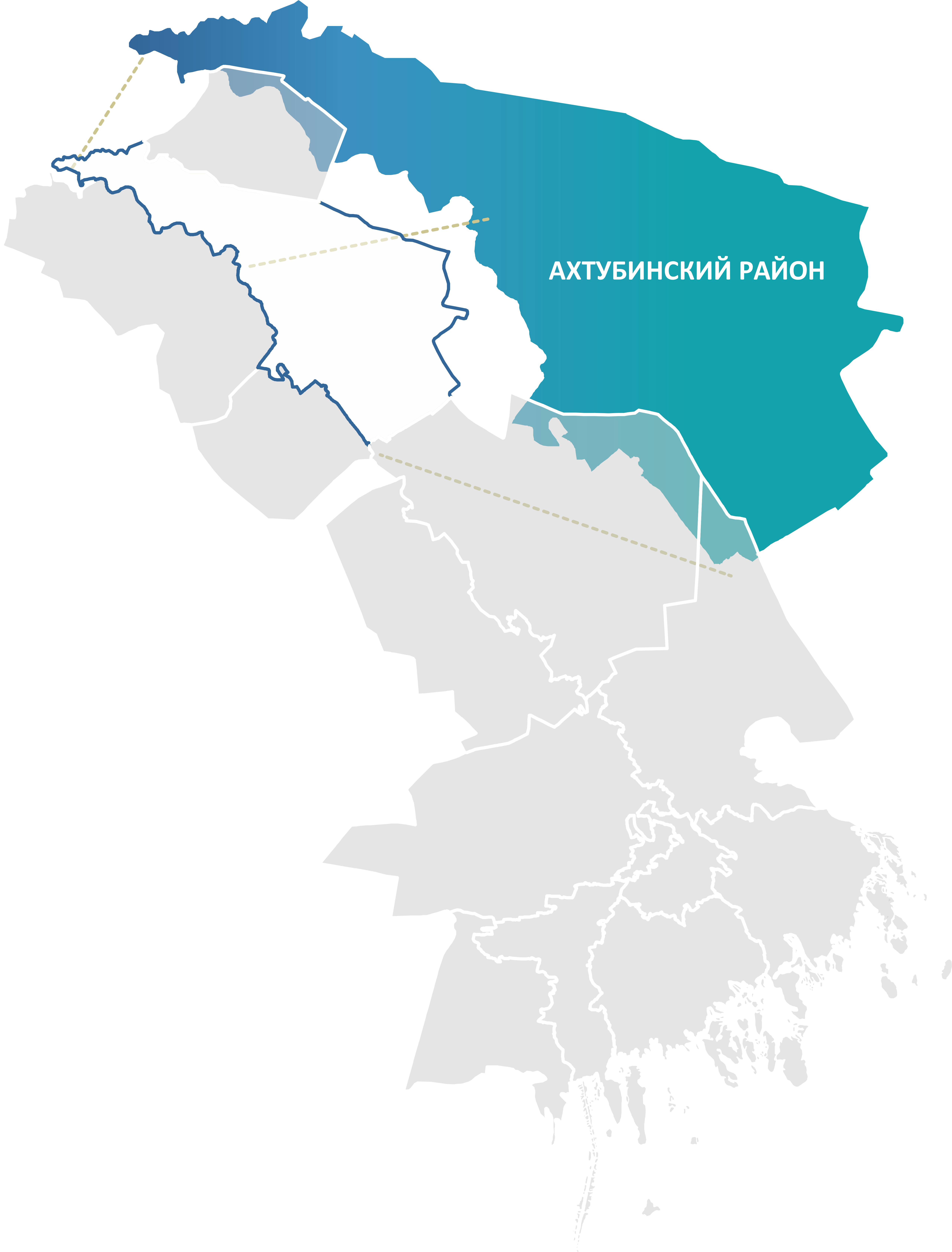
The Ahtubinsky District is the largest administrative-territorial unit of the Astrakhan Region. It is located in the north-eastern part of the region, in the semi-desert zone, and stretches along the left bank of the Volga River. The district borders Volgograd Region to the north, the Republic of Kazakhstan to the east, Chernoyarsky District to the west, and Kharabalinsky and Enotaevsky districts to the south.
The economy of Ahtubinsky District is diversified, with a pronounced industrial component. Mining is one of the leading sectors. The territory contains the unique Lake Baskunchak, where high-quality table salt is extracted. Gypsum, quartz sand and clay deposits are also being developed.
Shipbuilding and ship-repair enterprises, as well as organisations associated with rail transport and the power industry, play an important role.
The unique natural landmarks — Lake Baskunchak and Mount Bolshoye Bogdo — create high investment potential for the tourism industry of the region.
.png)
