
Narimanovsky Municipal District, Astrakhan Region
Narimanovsky District
Key facts:
- Area: 6,125 km²
- Population: 47,916
- District centre: Narimanov
- Average salary: RUB 58,457
- 1 vocational education institution
Landmarks:
- Astrakhan water divide
- "Big Brother" dune
Key industries:
Manufacturing
Shipbuilding
Mining and processing of minerals
Tourism
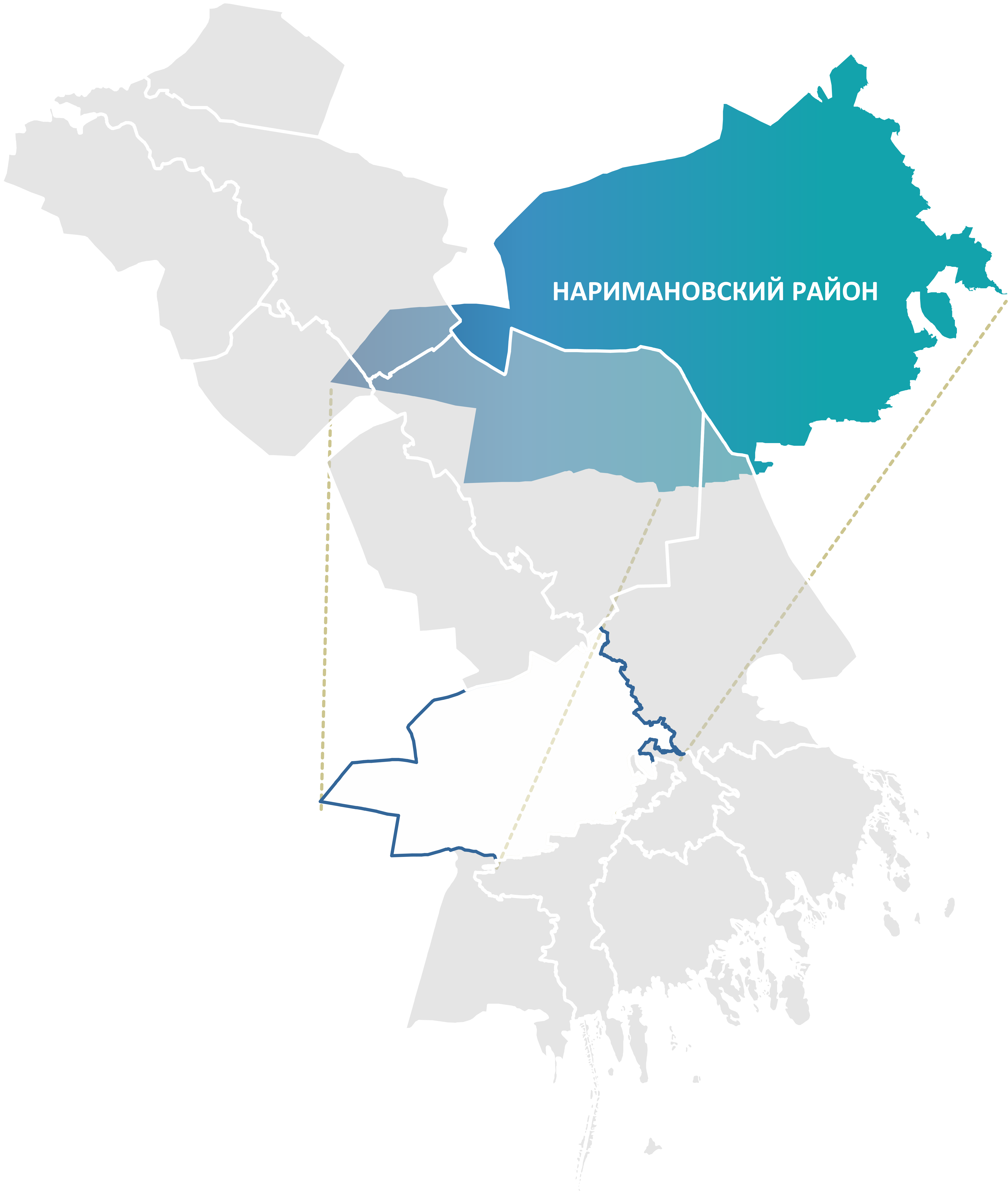
Narimanovsky District is located in the south-western part of the Caspian Depression, on the right bank of the Volga River. It is one of the largest districts of the Astrakhan Region. To the north the district borders Enotaevsky District, to the east — the Kharabalinsky, Krasnoyarsky and Privolzhsky districts, as well as the city of Astrakhan. Its western neighbour is the Republic of Kalmykia, and to the south are the Limansky and Ikryaninsky districts.
The R-22 "Caspian" federal highway crosses the district.
Narimanovsky District has significant natural wealth, the key resource being table salt. Deposits of self-precipitating salt are located in the district, including Lake Chichil-Kocha and Lake Gorchichnoye.
The Leonidovskoye deposit holds a large proven reserve of iodine-bromine waters.
The foundation of the district's economic development is the "Lotus" Special Economic Zone, established in 2015. In 2020 the "Lotus" SEZ was merged with the Port SEZ into the Caspian Cluster for the development of the North-South international transport corridor.
Plans include establishing an industrial shipbuilding cluster on the basis of the SEZ, where import-substituting products will be produced. The "Lotus" shipyard, operating since the 1980s, is one of the key residents and is provided with orders through 2030.
The "Lotus" SEZ creates unique conditions for industrial investment with special tax and customs benefits.
.png)
