
Kharabalinsky Municipal District, Astrakhan Region
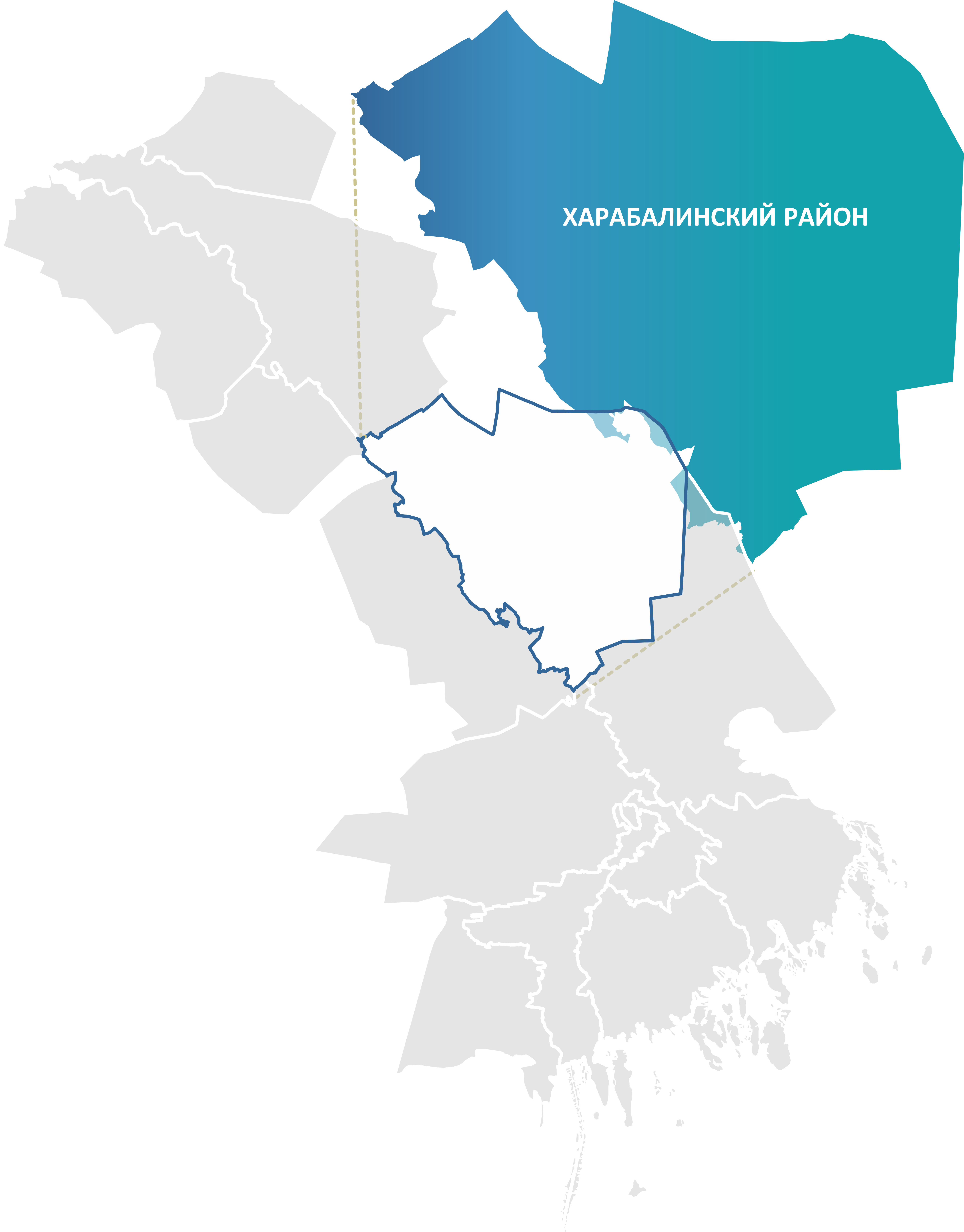
Kharabalinsky District
Key facts:
- Area: 7,435 km²
- Population: 39,706
- District centre: Kharabali
- Average salary: RUB 58,457
- 1 vocational education institution
Landmarks:
- Sarai-Batu
- Khosheutovsky Khurul
Key industries:
Production and processing of agricultural products
Transportation and storage
Tourism
Kharabalinsky District is located in the central part of the Astrakhan Region. To the south it borders Krasnoyarsky District, to the north — Ahtubinsky District, to the west — Enotaevsky District, and to the east the state border with the Republic of Kazakhstan runs.
The district is situated in a unique natural region — the Volga-Akhtuba floodplain, which is a green oasis at the junction of desert and semi-desert zones. The hydrographic network also includes numerous lakes, ilmens and ponds.
The economy of Kharabalinsky District has a clearly pronounced agricultural specialisation. The district ranks among the leaders in potato and melon production and supplies more than a third of the Russian tomato paste market.
The district is rich in aquatic bioresources: about 100 fish species inhabit the numerous water bodies of the Volga-Akhtuba floodplain, including valuable commercial species — sturgeon, beluga, sevruga, sterlet, carp and zander.
Within the district are historically and culturally significant sites of national importance — Sarai-Batu, the capital of the Golden Horde, and the unique Khosheutovsky Khurul, a monument of Kalmyk architecture from the early 19th century. These sites have become key points of attraction within the regional tourist route "A Journey to the Land of a Thousand Rivers and Singing Dunes", which includes them in its programme and allows visitors to become familiar with the rich historical heritage of Kharabalinsky District.
.png)
