
Privolzhsky Municipal District, Astrakhan Region
Privolzhsky District
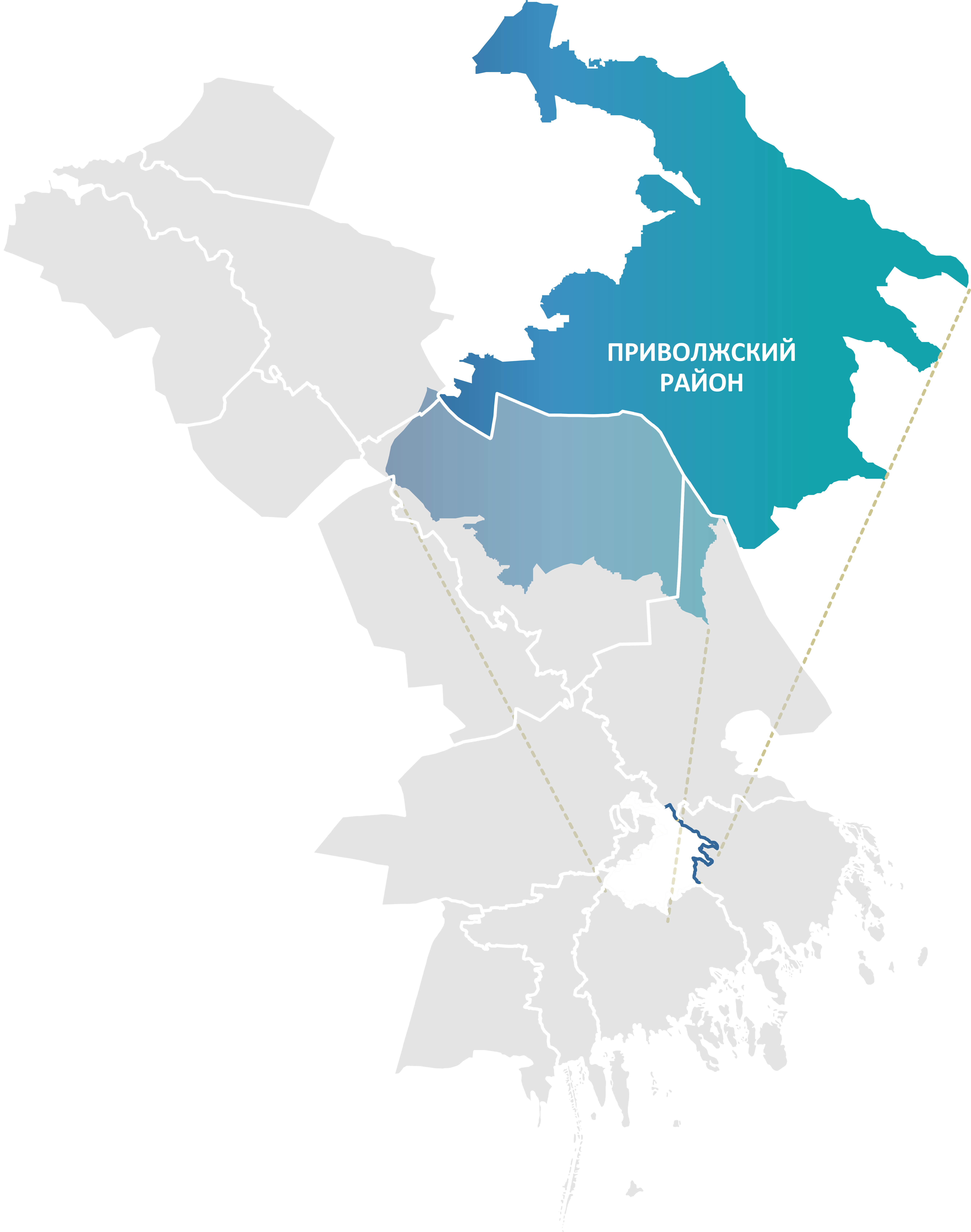

Key facts:
- Area: 840.9 km²
- Population: 64,629
- District centre: Nachalovo village
- Average salary: RUB 51,600
- 1 vocational education institution
Landmarks:
- Temple of the Rodnensk Icon of the Mother of God
- Church of the Donskoy Icon of the Mother of God
Key industries:
Production and processing of agricultural products
Transportation and storage
Tourism
Privolzhsky Municipal District of the Astrakhan Region is a dynamically developing suburban municipality which, thanks to its unique geographical position and active investment policy, has become one of the centres of attraction in the region.
The district is located in the south-eastern part of the Astrakhan Region, in the central part of the Volga River delta.
Its key feature is direct adjacency to the regional centre, the city of Astrakhan, which gives the district suburban status and high transport accessibility. To the north it borders the Narimanovsky and Krasnoyarsky districts, to the east — Volodarsky District.
The district has significant agro-natural potential. The main resource is agricultural land.
The economy of the district has a clearly pronounced agricultural orientation, actively complemented by the industrial sector and construction. Agriculture is the leading industry, with crop production accounting for about 90% of total output. The district specialises in vegetable growing and the cultivation of grain and melons. Modern irrigation technologies, in particular drip irrigation, are actively introduced here, which makes it possible to achieve high yields in a dry climate.
The district operates a drip-irrigation tape plant with a capacity of up to 120 million metres per year, whose products are on a par with European counterparts.
.png)
