
Chernoyarsky Municipal District, Astrakhan Region
Chernoyarsky District
Key facts:
- Area: 4,229.58 km²
- Population: 19,408
- District centre: Cherny Yar village
- Average salary: RUB 48,900
- 1 vocational education institution
Landmarks:
- Temple of the Holy Apostles Peter and Paul
- Temple of the Kazan Icon of the Mother of God
Key industries:
Production and processing of agricultural products
Transportation and storage
Tourism
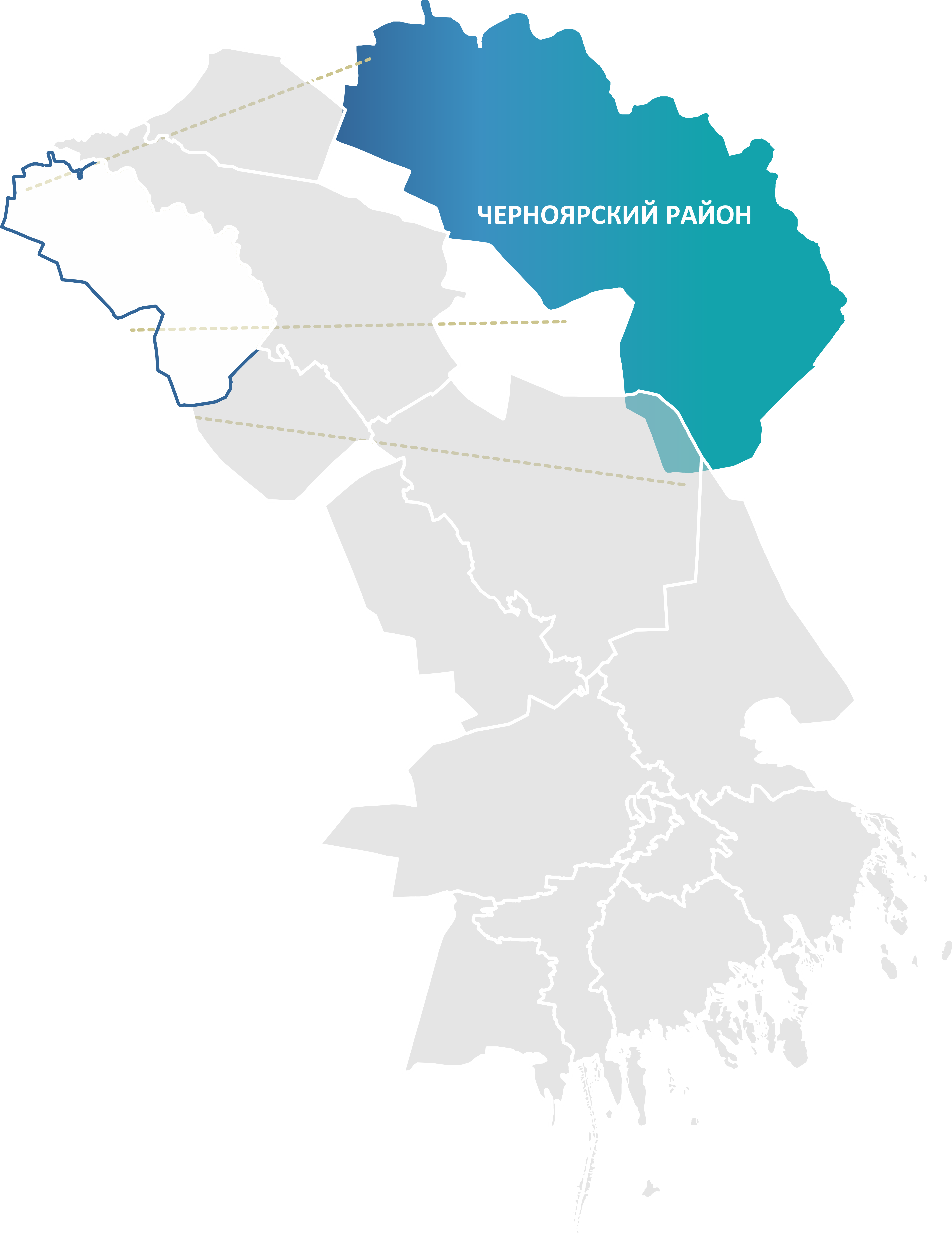
Chernoyarsky Municipal District is the northern outpost of the Astrakhan Region. Located at the junction with Volgograd Region and Kalmykia, this territory combines a strategic position on the Volga, strong agricultural potential and the status of a pilot territory for new forms of municipal management.
Chernoyarsky District occupies the northern part of the Astrakhan Region, stretching 140 km along the bank of the Volga from north to south and 50 km from west to east. The district has an important strategic position, bordering Volgograd Region to the north, the Republic of Kalmykia to the west, and the Ahtubinsky and Enotaevsky districts of the Astrakhan Region to the east and south.
In the area of the village of Cherny Yar, a deposit of brick and tile raw materials (clay and loam) has been explored, providing a base for the local construction industry. The chief wealth is the Volga floodplain with its protective forests, floodplain meadows and unique biodiversity. These territories have high recreational potential, attracting hundreds of thousands of holidaymakers, and are the subject of research for the establishment of specially protected natural areas. The district has significant areas of agricultural land which, thanks to the development of irrigation, form the basis for rice growing.
Large-scale projects in the agro-industrial complex (construction of plants, restoration of irrigation systems) confirm strong investor interest in the district.
.png)
