
Enotaevsky Municipal District, Astrakhan Region
Enotaevsky District
Key facts:
- Area: 6,297 km²
- Population: 25,000
- District centre: Enotaevka village
- Average salary: RUB 69,000
- 1 branch of a higher education institution
Landmarks:
- Church of the Nativity of the Most Holy Mother of God
- Folk Cossack Culture Centre "Krug"
Key industries:
Agriculture
Tourism
Transportation and storage
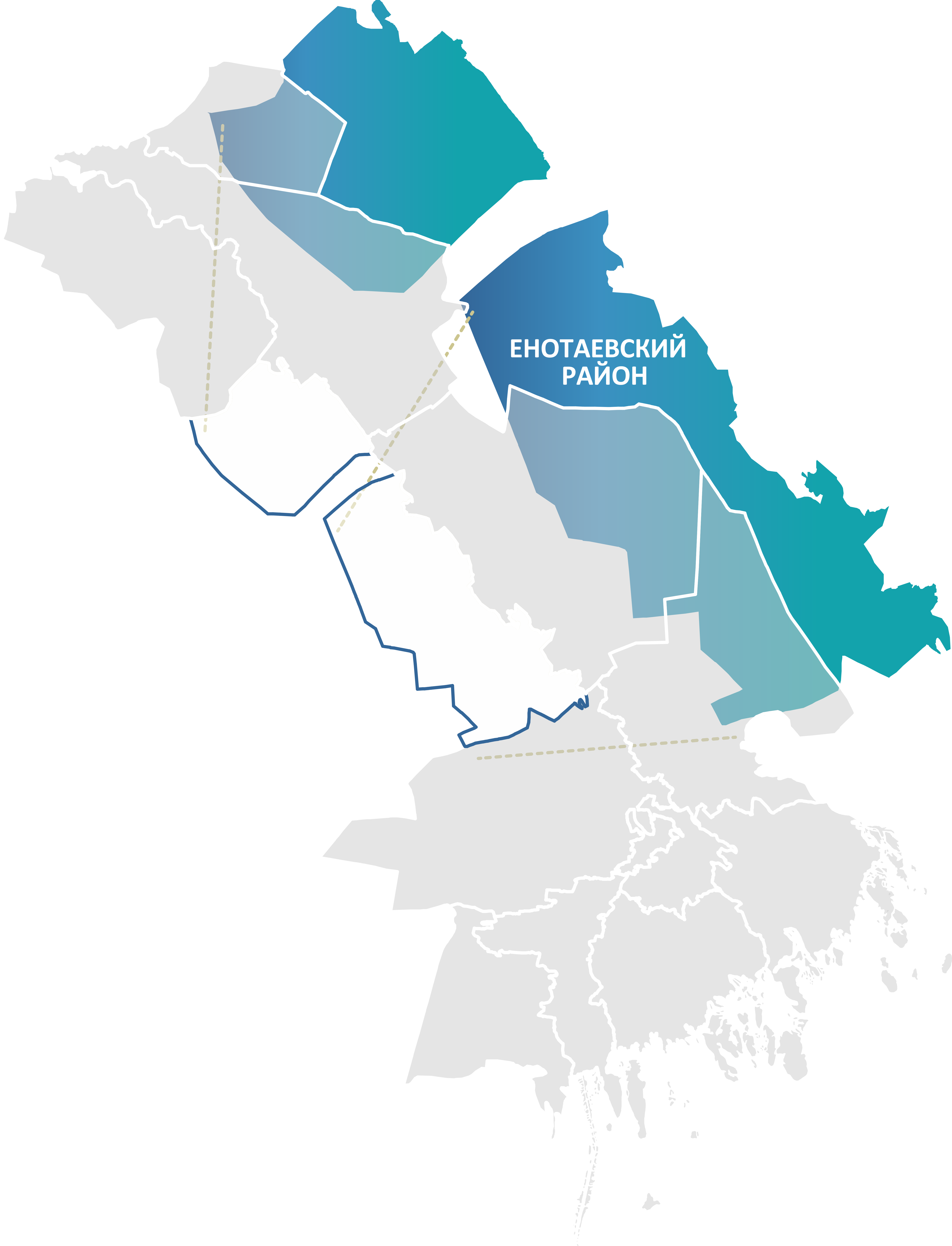
The district is located in the northern part of the Astrakhan Region and borders several districts of the Astrakhan Region (Chernoyarsky, Ahtubinsky, Kharabalinsky, Narimanovsky) and the Republic of Kalmykia.
The district has a favourable transport and geographical position. Two key transport arteries cross its territory: the Volga River and the R-22 "Caspian" federal highway (Moscow – Astrakhan), which connects the district with the central regions of Russia and provides logistics advantages for economic development.
The district has substantial areas of agricultural land, which form the basis of its economic potential. An abundance of sunny days and a long growing season create conditions for cultivating a wide range of crops.
The municipality is one of the region's leaders in potato production and has all the prerequisites for further growth.
Full gasification of the territory, the availability of large land plots and transport accessibility make the district attractive for business.
.png)
